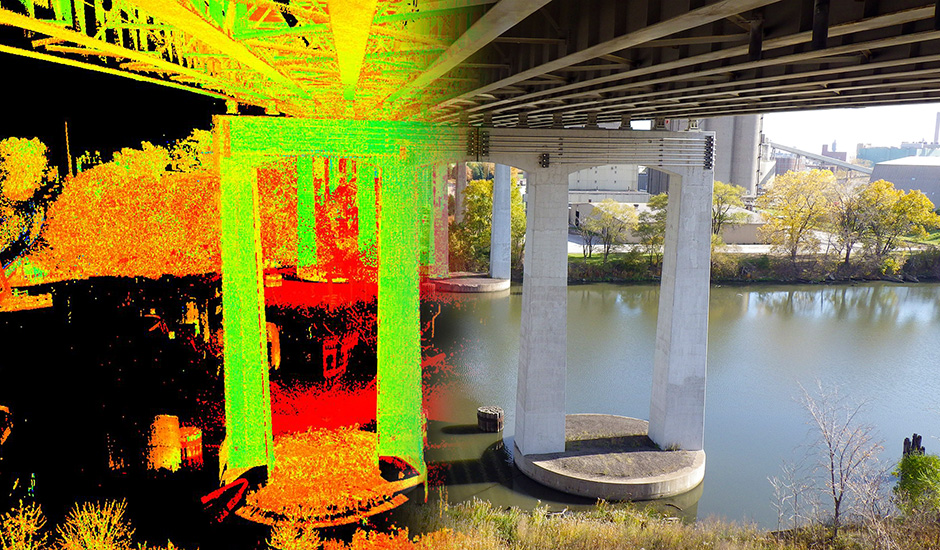
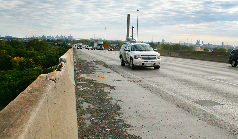
With replacement of the I-75 bridge decks over the Rouge River and Fort Street in Detroit scheduled for 2017, a design survey was needed to collect data and map the 1967 bridges, approaches and ramps. A massive amount of data was collected on two miles of eight-lane highway, including the 1.5-mile bridge over the Rouge River that boasts the largest concrete deck surface in Michigan. This bridge is supported by 105 piers up to 100 feet high and connects to the 822-foot bridge over Fort Street to create the two-mile span. The right mix of surveying technologies was used to collect and fuse the data into highly-accurate mapping for the Michigan Department of Transportation with minimal disruption to the bridges’ 115,000 daily drivers.
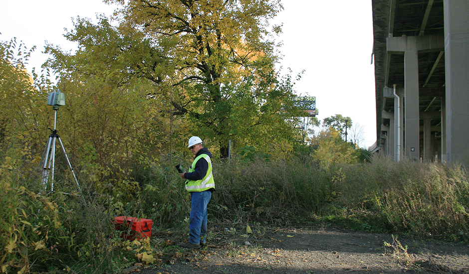
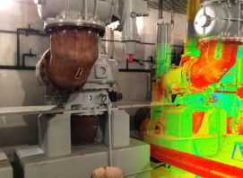
A combination of Mobile Terrestrial Lidar (MTL) scanning, Stationary Terrestrial Lidar Survey (STLS) scanning, and conventional surveying technologies was used; the largest application of its kind that has been performed in Michigan. More than 200 million laser scanning points were collected. Numerous challenges were overcome by developing a project approach that addressed heavy traffic, trains, difficult and congested working conditions, and impediments to equipment mobility. In addition, bridge heights required surveyors to use a 135-foot-high boom lift to measure distances to determine bearing dimensions and haunch heights, and perform limited laser scanning.
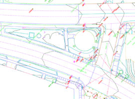
Control targets and mapping data were repeatedly verified to account for vibration impacts and achieve required accuracies. Data gathered from the various survey methods was edited, merged and delivered as comprehensive and detailed mapping that eliminates the need to return to the field during design. The design survey is being used by design and construction engineers during the reconstruction project and as a source of information for future assessments of bridge deterioration.
Awards:
ACEC of Michigan Eminent Conceptor Award, 2016
ACEC National Recognition Award, 2016

